Montserrat- the most epic day trip from Barcelona

I traveled to Barcelona many, many times. It’s one of my favorite European cities and I have a very good friend living there. Somehow all those times I never thought of visiting Montserrat. I knew it was a monastery in the mountains and to be honest I was never a big fan of catholic sites like that. But this year JD and I decided to give it a try. After all if it’s bad it’s only one day wasted.

I love to be wrong like that. It’s literally the best day trip from Barcelona.

What is so special about it?

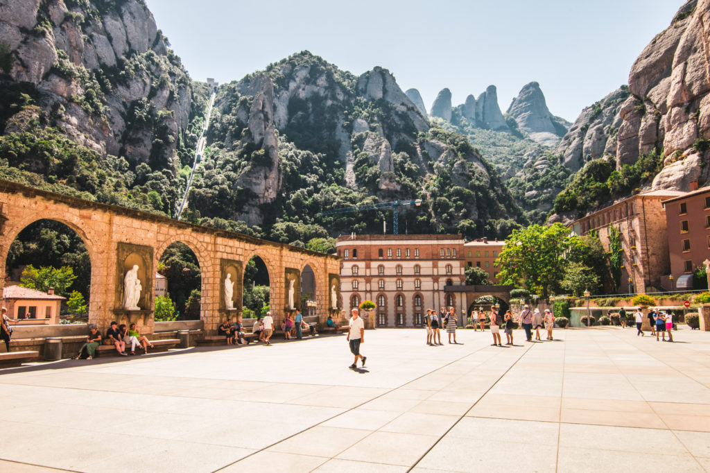
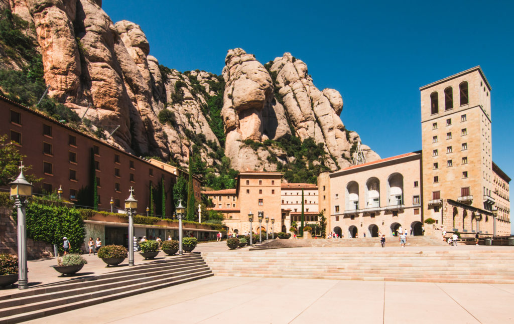
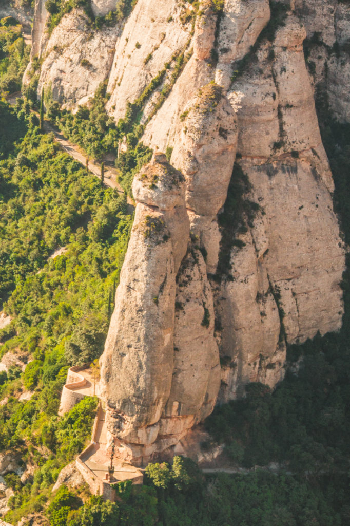
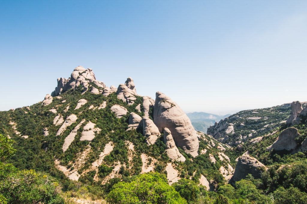
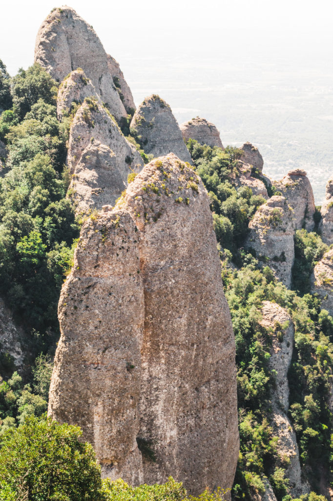
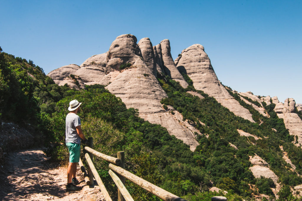
On paper it doesn’t sound too great. Monastery in the mountains. It’s not as boring as that. The mountain range looks as if there were huge stone giants walking around the region, got tired and decided to lay down and stay. On those people they built a monastery but that’s not even the most spectacular part of the site. There is a little church built in a rock, crazy serpentine of roads in between the peaks and incredible views from numerous places. But let’s go step by step through…

…what is there to see?

Benedictine Monastery

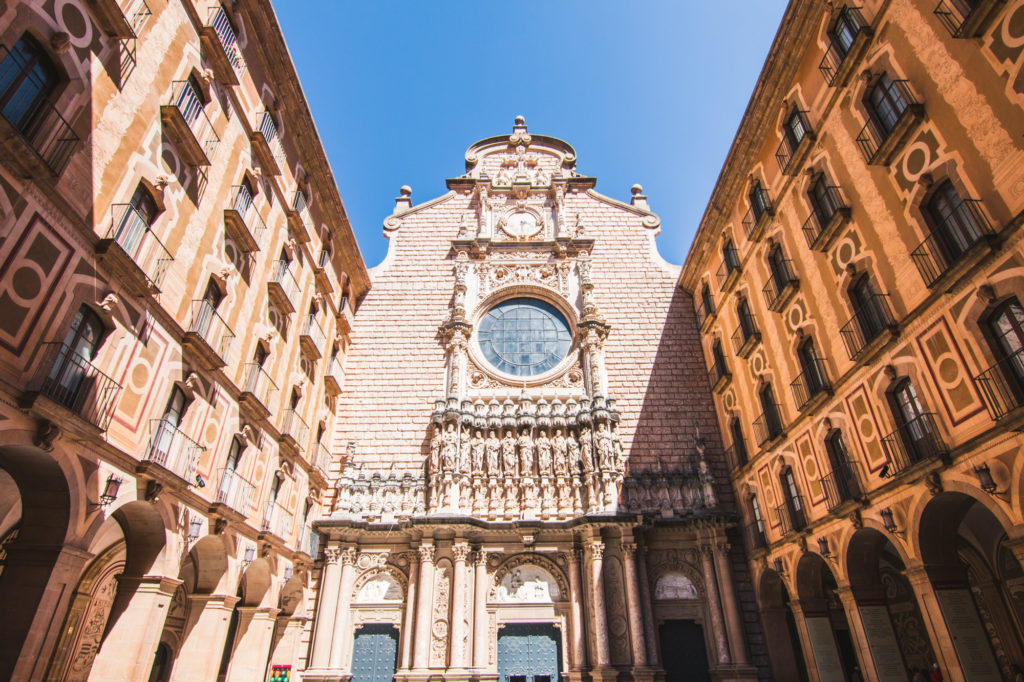
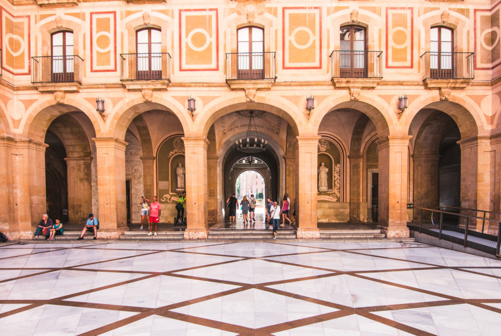
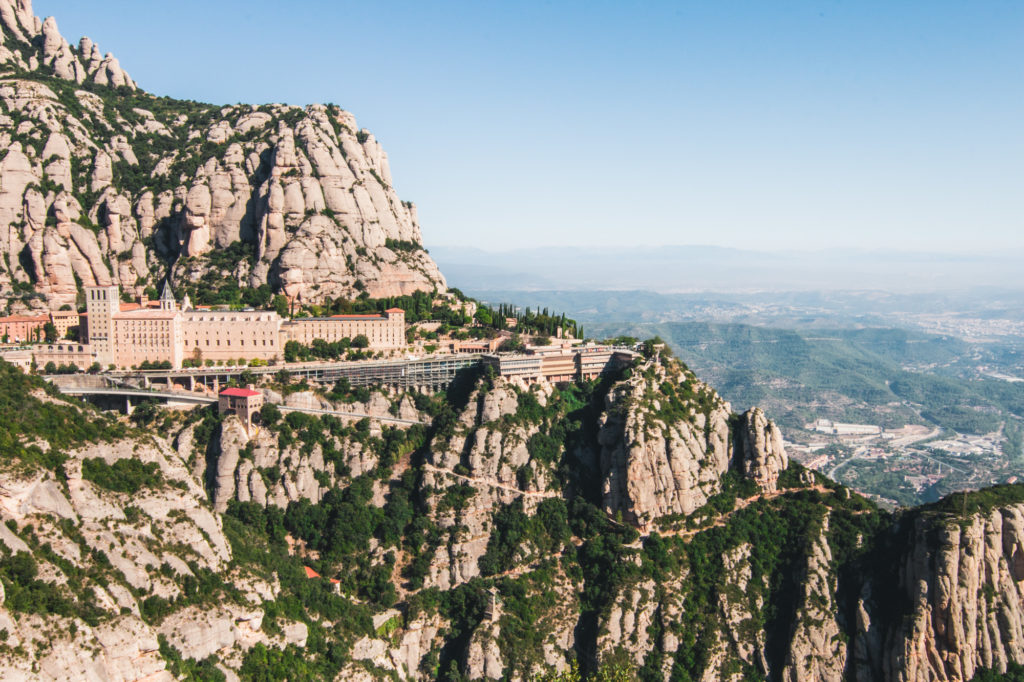
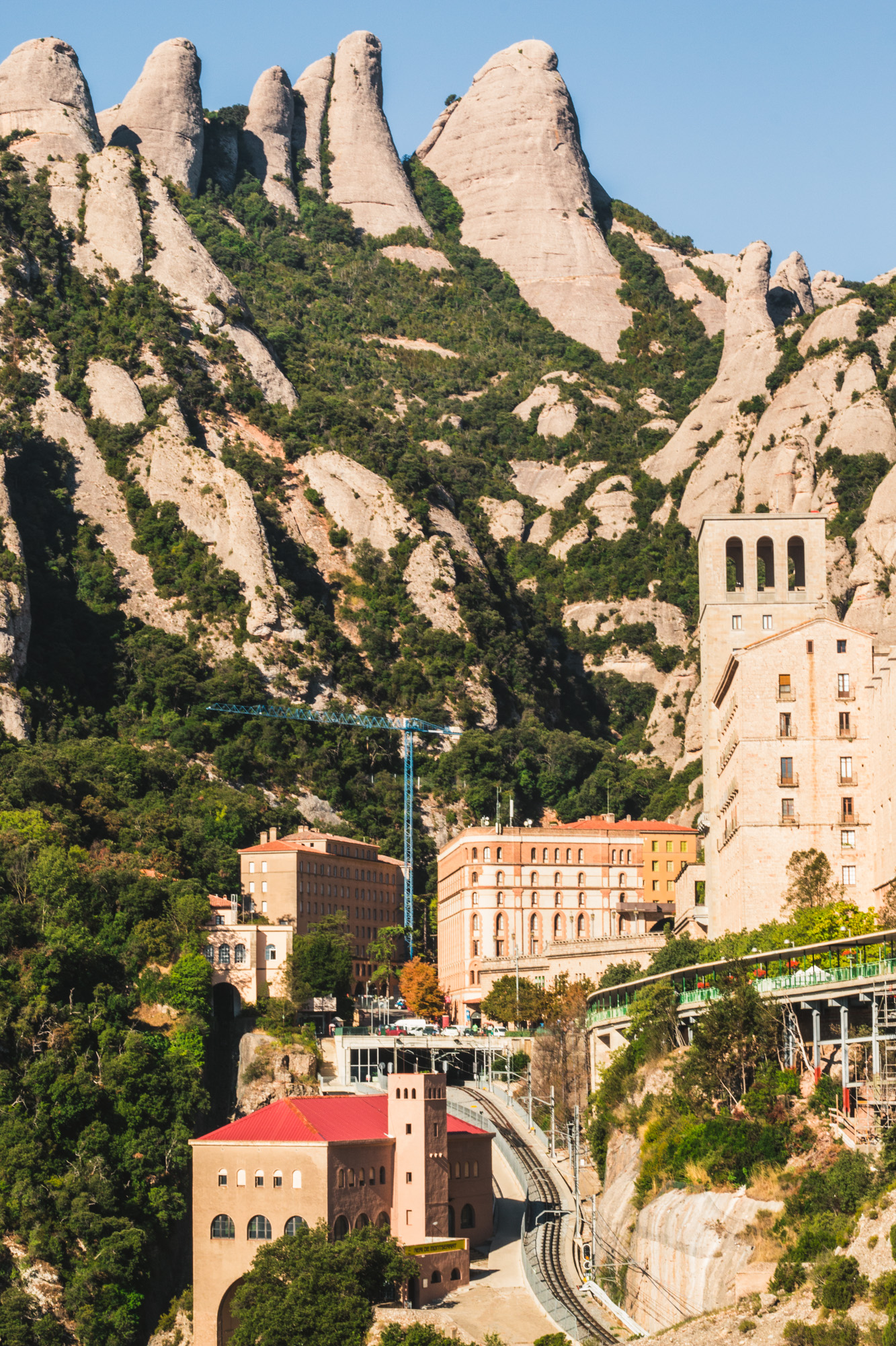
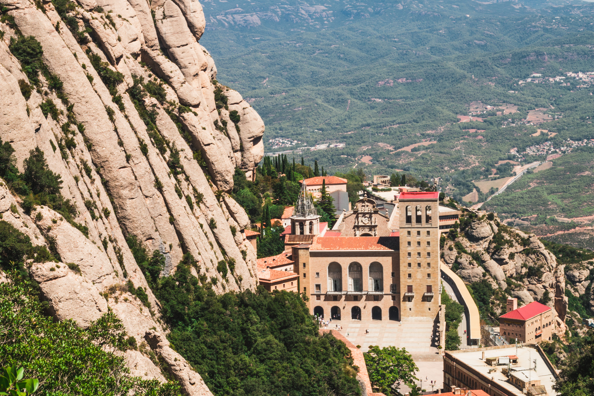
That is by far the biggest and most famous attraction in there. Attraction is an adequate word to describe this site as there is even a bar that sells beer just next to the monastery. Quite shocking honestly. The Santa Maria de Montserrat abbey was founded in 10th century and is still fully functioning with around 70 monks living in residence. It doesn’t look much different from a usual church unless you look from afar. The sight of the monastery surrounded by almighty peaks is just jaw dropping.

Viewing terrace

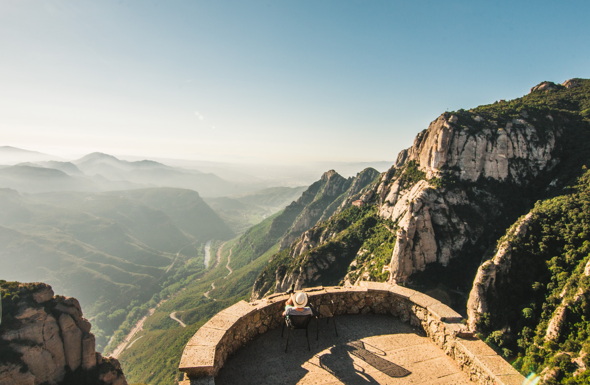
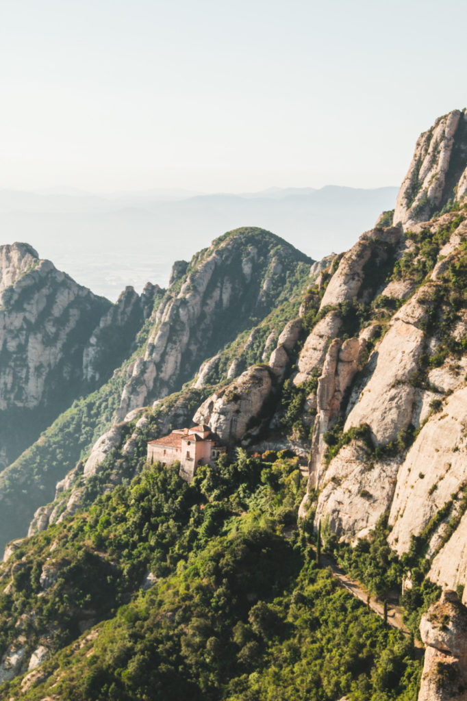
Very close by the religious sight there is a whole serpentine of roads going back and forth and presenting incredible views on the mountains below as well as Santa Cova Chapel that looks imprisoned in between the rocks. We wandered around quite a bit and managed to find a balcony with two seats and the best views on the valley. We indicated where it was on our map below. Maybe because of the stairs that led to it and the fear of going back people didn’t dare to go there. Their loss was our win, we enjoyed these views with just the two of us.

The Instagram staircase

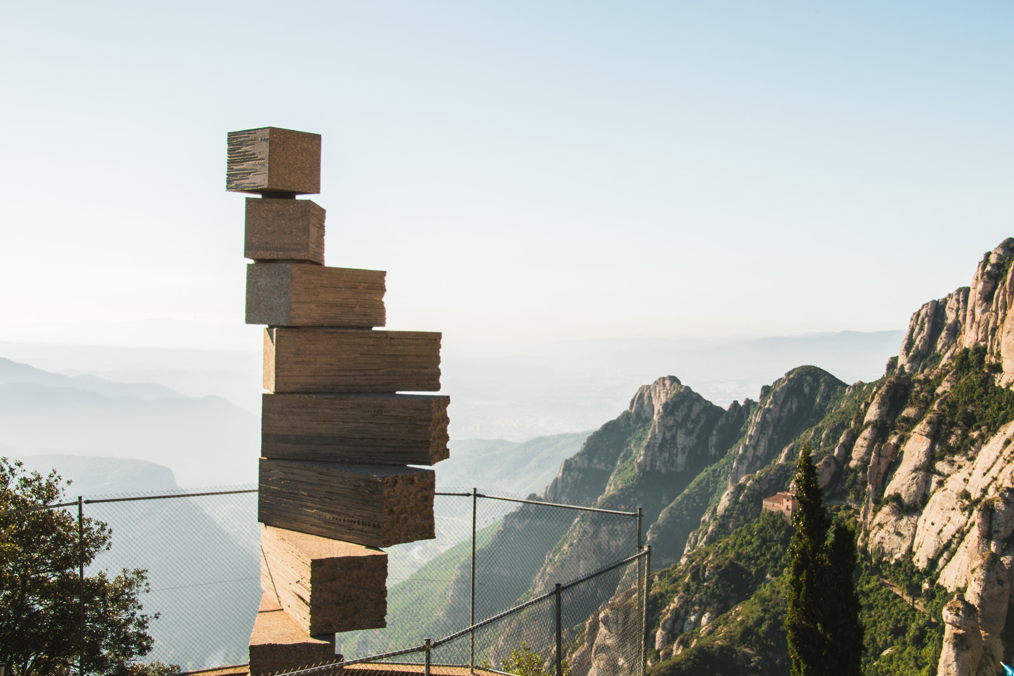
Just as we were walking around Montserrat we realized that it’s where the famous Staircase to Heaven was. We saw it on soooo many Instagram photos. Although on each and every one of those people climb on the very last of the nine stacked concrete blocks, it’s forbidden. Nowadays there is even a fence to prevent that. It was meant to be a piece of art not an Instagram installation. To be frank I would die of fear if I had to climb it… One false move, could be the last one. Also the view surrounding the staircase is not that spectacular compared to many others in the surrounding.

Santa Cova Chapel

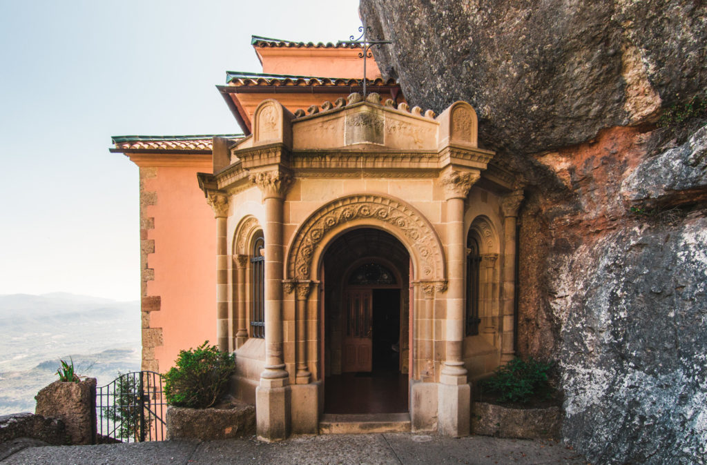
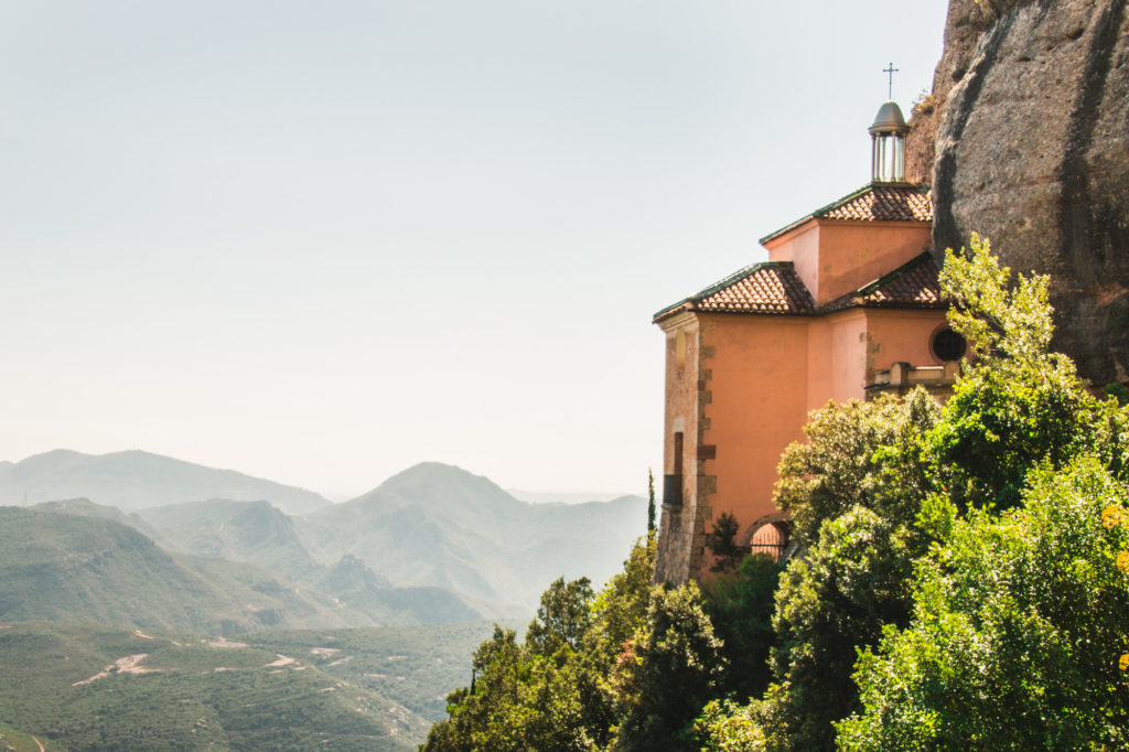
It’s a hillside cave where the Virgin of Montserrat was hidden before being found by shepherds in the IX century. Centuries later a tiny chapel was built here. Although it’s possible to get to it by a funicular, it’s actually a short, not very challenging walk. A return trip would be about 1.5 hour all together. I think it’s the best way to visit it especially since funicular is not really cheap and it doesn’t take you all the way to the chapel anyway.

The church is really tiny but the views and the path leading to it are mind-blowing.

San Miguel’s Cross

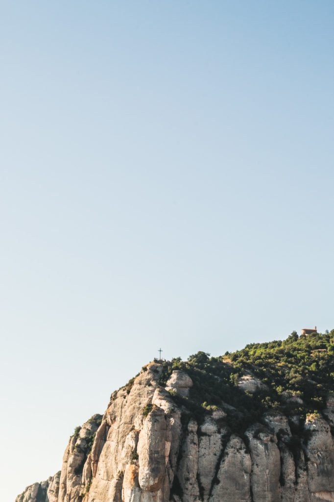
From the monastery it might seem that you can visit the Santa Cova Chapel and then continue walking to the Sant Miquel’s Cross. Unfortunately there is no path behind the chapel so those are two separate walks. But going to the cross is a very short, 20 minute stroll that is not really challenging and the views are well worth it. We could admire the monastery from a distance and the gorgeous mountains below. Compared to views that we saw from Santa Cova (which we liked better anyway) these ones were more open simply because it’s a much higher point. I guess we prefer to feel “in the mountain” rather than on top of it but you might like this one better 🙂

Sant Jeroni Mountain

To reach the highest mountain in the area (1236m) we took the funicular that goes to the highest station and from there we followed a very clear path that led us through some forest patches and some beautiful view points over the mountains to the top. As much as we loved the views we recommend this hike to very motivated people. It’s not very strenuous and the path is easy, well maintained and clear but… we did it as the last thing on Montserrat and the sun was just excruciating. What’s more it’s a 3 hour return trip that does indeed provide beautiful views but not much different than the ones from previous places.

How to get to Monserrat and how to get around?

There are so many ways to get to Montserrat that it’s almost too confusing. So which one is the best and which one did we take?

By train and rack railway

That’s the option we chose because we wanted to be on the site as early as possible and the rack railway was beginning earlier in the morning than the cable car. Besides it was a bit cheaper than the option with the cable car (we paid 20.10 euro p.p). It takes about 90 minutes in total from Plaza de Espana to the top, so a bit longer than if we took the option with the cable car.

So with that option you take a R5 train from Plaza Espana to Manresa. You get off at Monistrol de Montserrat right next to that platform is where you have to take the next train. You can’t miss it. The whole route is really beautiful and it gets more and more impressive the higher you get.

Prices, timetables and combined ticket options here.

By train and cable car

It’s pretty much the same option but instead of the rack train you take a cable car from Montserrat Aeri. The cable car takes you up there in 5 minutes. If you’re going off season it’s worth checking if you can actually go with that option since during winter it’s only open on weekends and public holidays.

This mean of transport is best for those who want to get there fast and have the most spectacular views on their way. Additionally it’s few euros more expensive…

To check the cable car timetables and if it's even running go here.

By bus

I heard that there was also a bus going to Montserrat but it’s not frequent and so I didn’t take it under my consideration when we were going.

By car

If you’re into photography and you want to get there for the sunrise or stay till sunset or have the place all for yourself, car is the best option. There is plenty of parking spots up there. Unfortunately I have no idea how much it would cost to park there.

Getting around there

We did most of our sightseeing on foot except taking the San Joan funicular (8.10 euro one way) to shorten our journey to the Sant Jeroni peak. There is also another funicular shortening the trip to Santa Cova Chapel which we considered too expensive for too little (3.25 euro for one way). There is also an option of combining those two tickets for 16 euro both return. More info here.

Pingxi mountain tops and dips in waterfalls- Perfect day trip from Taipei

Pingxi is a small village situated less than an hour from Taipei. It´s famous for producing massive paper lanterns that once a year, during the Sky Lantern Festival, get sent to the sky with wishes written on them. Unfortunately we missed that one by many months. And we arrived in Pingxi for a different reason… The nearby mountains. Three mountains to be exact. It might sound like a lot in a day but those are actually not that challenging and the views are more than rewarding.

How to get there?

The trails to all the 3 mountains meet at the same spot that you can see on our map below. To get there from Taipei there are quite few options. You can either take a train to the Rueifang train station and then switch to the Pingxi Rail line that will take you to Pingxi Station or take a direct bus from Muzha Zoo. Unfortunately both options won’t get you there before the sunrise and they both take at least 2hrs. So we decided to take an UBER, which was the best choice for us. It only cost 900 Taiwanese dollars (around 27 euro) and it took just 40 minutes.

Why so early?

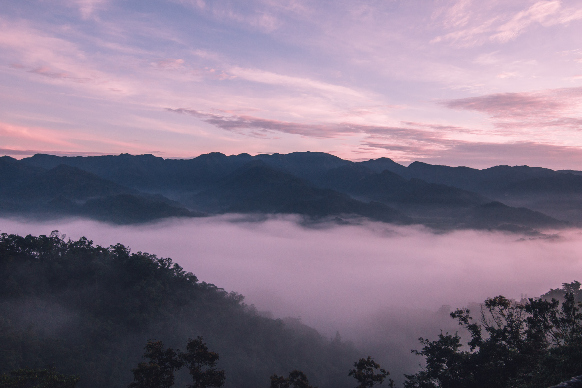
We really wanted to be there very early to see the sunrise which was just epic, with clouds and fog. We also wanted to skip the heat of mid-day. Even when we started, before 5 am, it was very warm but at 6.30 the sun was already unbearable. As soon as we started walking I was really happy that we didn't have to share the spot with other people. It was not only soothingly peaceful but also safer. I can’t imagine how it could be crowded on those narrow stone stairs or worse… on the ladder.
Early start gave us an option of combining two trips in one and go to nearby waterfalls.

Xiaozi Mountain (Filial Son Mountain)

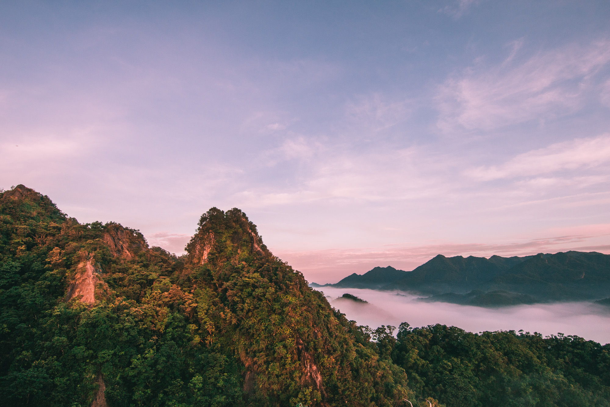
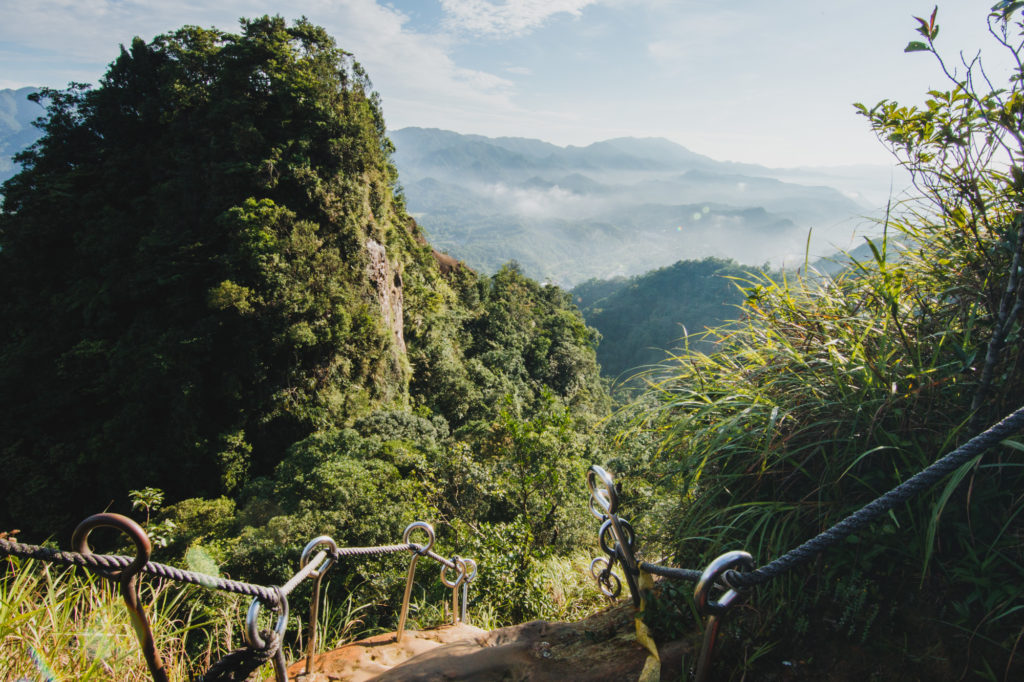
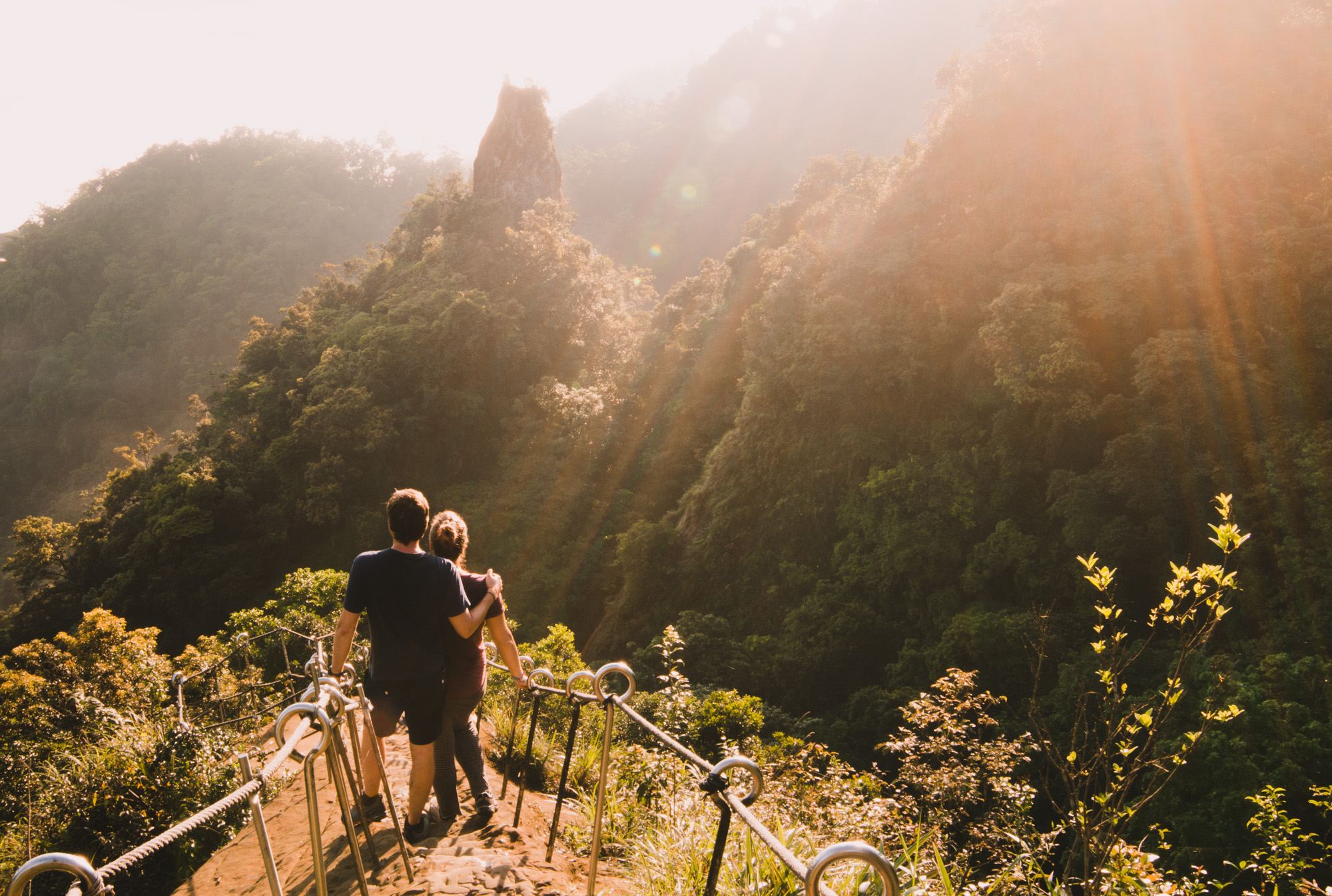
The lowest of them all and a perfect spot for a sunrise. Hiking from the beginning of the trail to the top took us around 20 minutes. The views were just insane with fog and clouds tight densely around the mountains. From there we could see the other two peaks in their full glory and also the stairs from hell that would take us to the second peak.

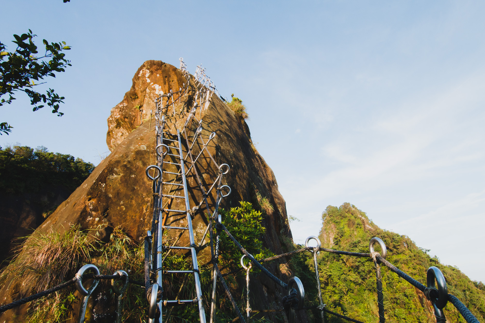
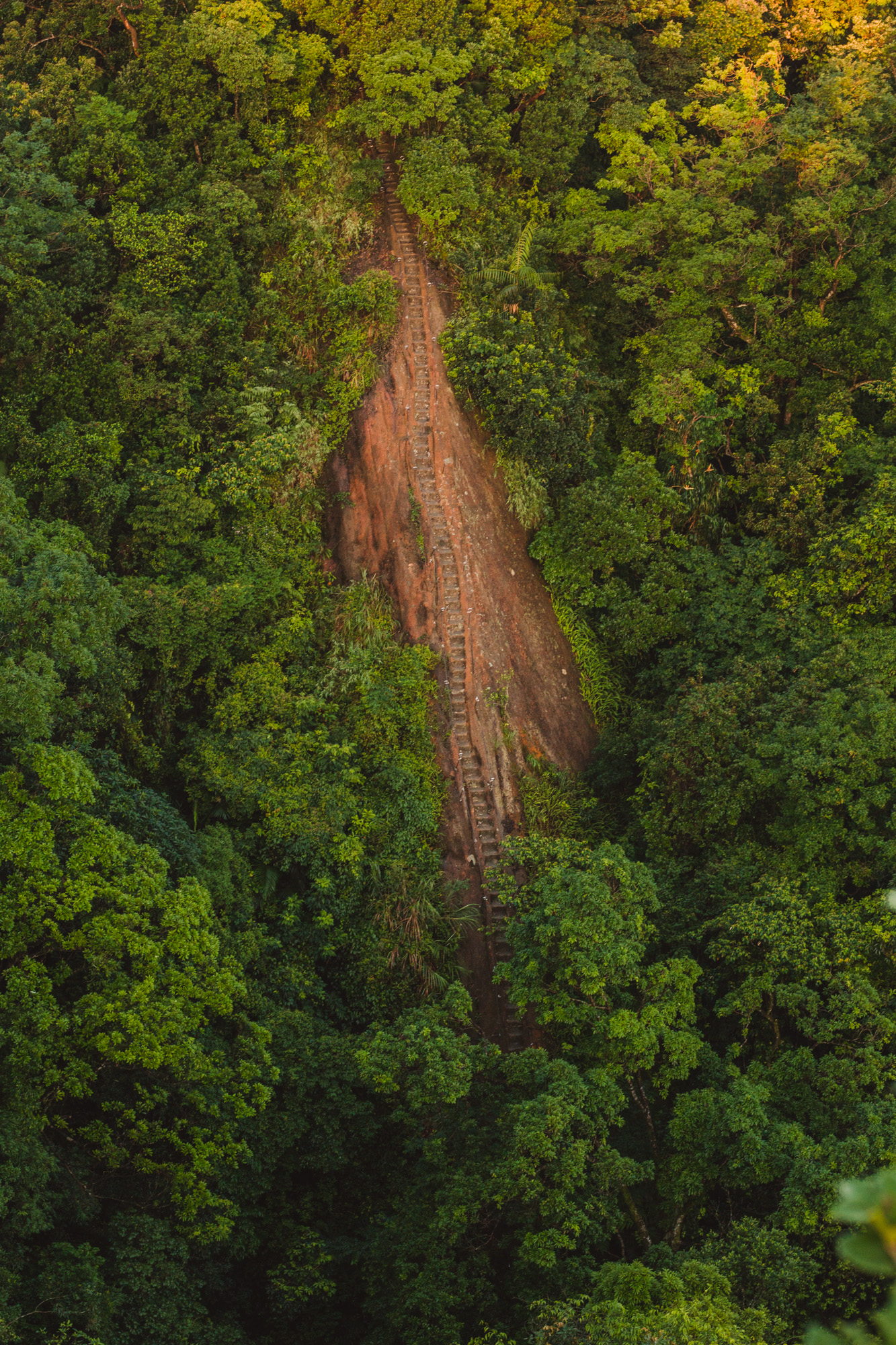
The only small detail about Xiaozi peak is that it requires cold blood. It’s a straight forward walk on the stairs that are pretty exposed and as a last part of the hike you need to climb a ladder that is even more exposed. Good news is that there are super steady ropes to hold on both sides. I’m really, really scared of heights and I managed to do it... Nearly got a heart attack though 🙂

The top of the mountain is pretty tiny and surrounded with a metal railing. I honestly can’t imagine that more than 5 people could fit there… Unless we are talking Asian size people, than maybe 10 would fit. I was extremely glad we were there just the 2 of us.

Cimu Mountain (Motherly Loving Mountain)

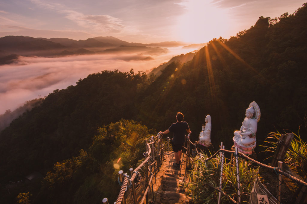
The trail begins just next to Xiaozi one and it’s hard to miss. It’s the beginning of millions of stairs and although they looked pretty bad from the first peak, they're really not difficult. It took us maybe around 30 minutes to get to the summit, not counting a big stop for pictures half way.

The staircase is not as exposed as the first one and it has very steady ropes to hold on both sides. I would even dare to say that here two people could even pass each other.

The views from The Mother Loving Mountain are spectacular, here we could see the Filial Son Mountain which from the distance looks completely out of this world. We also saw Putuo Mountain, the last one of the 3 peaks.

At the top of Cimu, it wasn’t clear which way down we should have taken. There were few paths, including old ones still with ropes in great condition… We decided to go down exactly on the other side of the mountain since it looked less steep and challenging. Big mistake. It turned out to be far from clear, challenging at times, and at some point the trail completely disappeared in vegetation leaving us without a clue of where to go. In final end we managed to go down through the bushes. But I would recommend just going down the same way…

After the view from the Motherly Loving Mountain we decided to skip the 3rd peak. It seemed pretty covered with trees and from what we could see we would only get a view on one side which would be similar to the one from the 2nd peak especially since they are so close by each other. Taking that into consideration and the fact that it’s the highest of the three we decided to end our adventure as it was.

Since it was just 7 am and we were full of energy and enthusiasm we decided to visit some waterfalls nearby 🙂

Shifen and the waterfalls’ hike

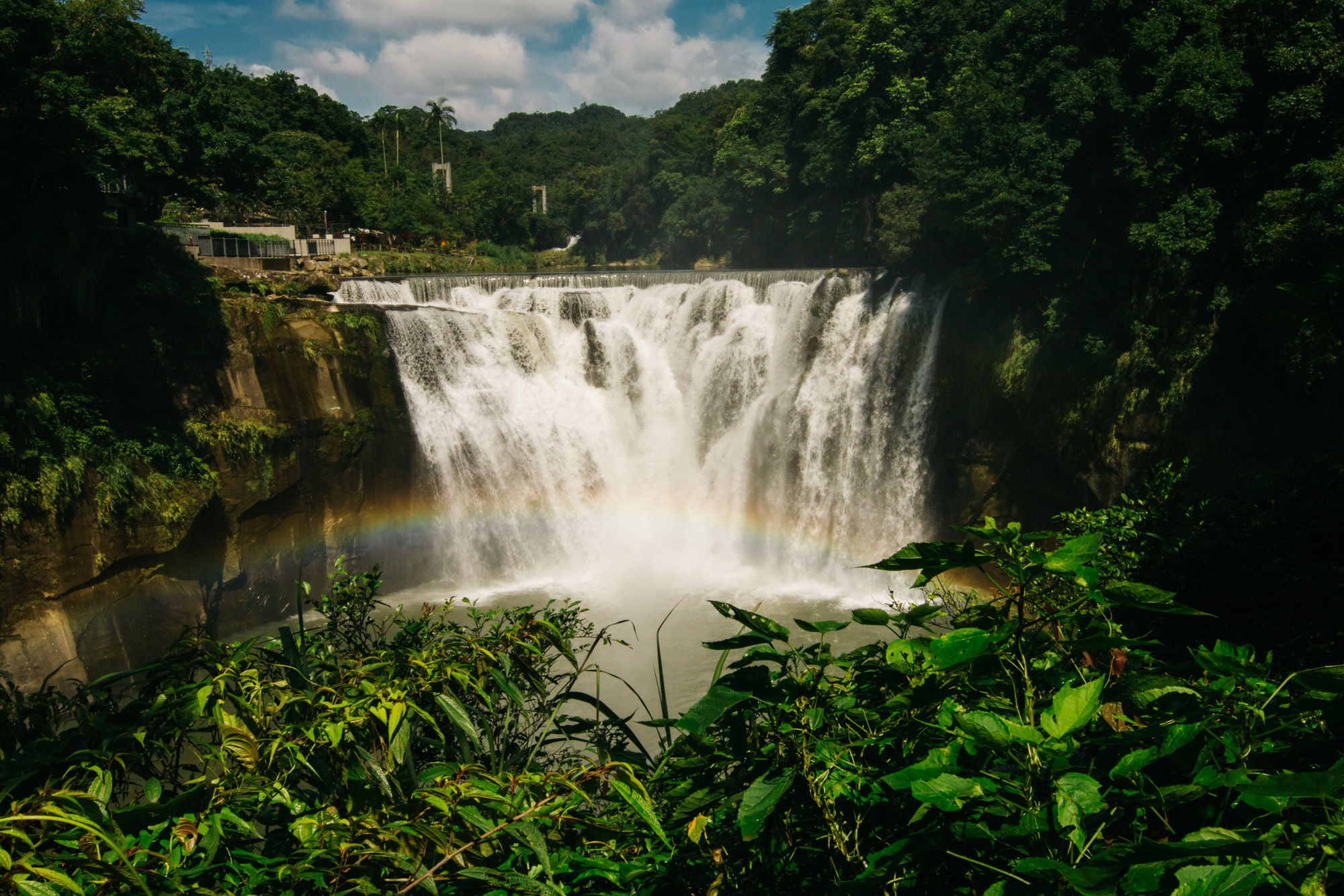
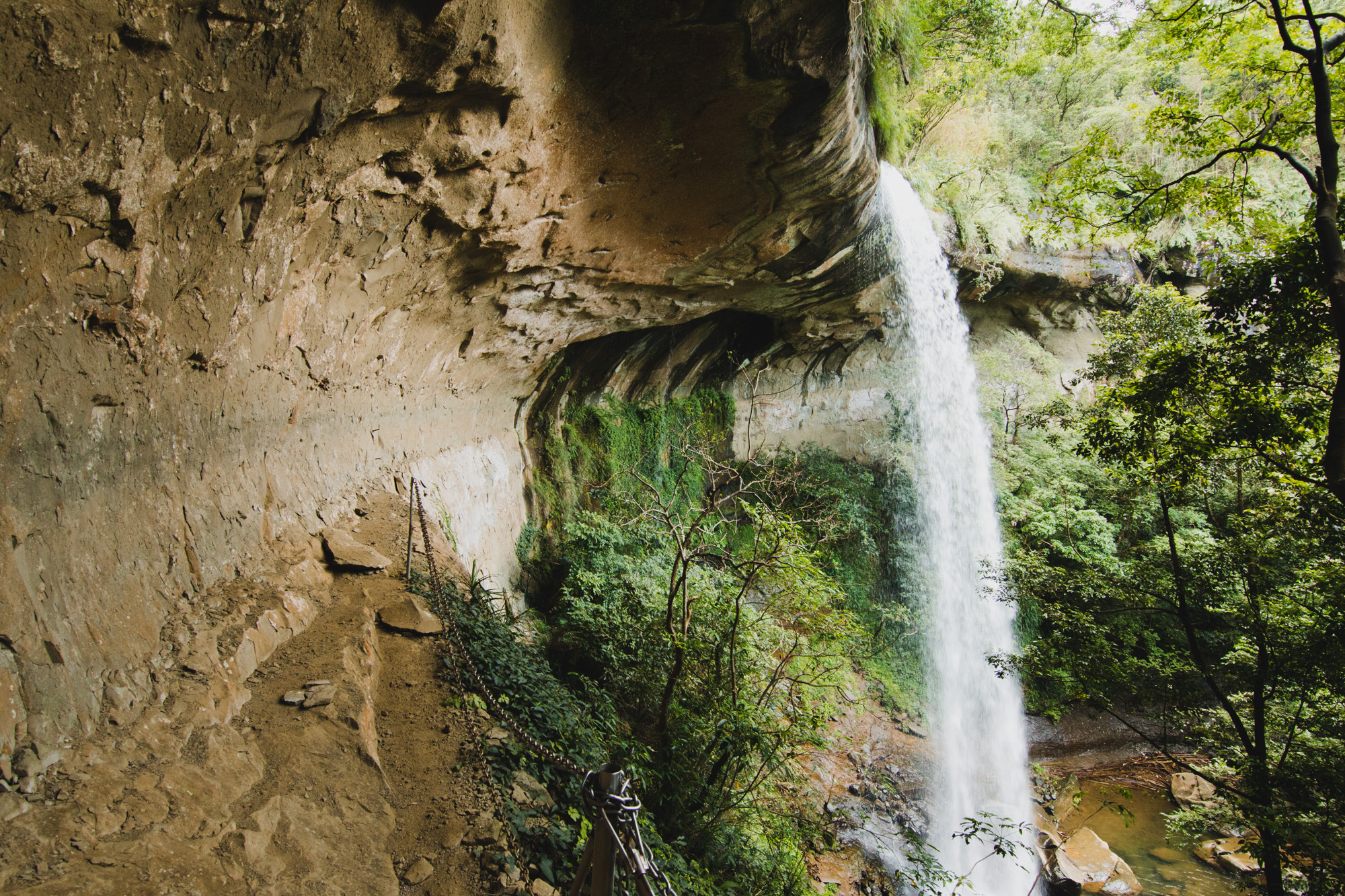
Shifen waterfall is the widest one on Taiwan and it's where a hike to 3 other ones starts/ends. Being so close to it we couldn’t miss the opportunity. Shifen is also famous for sky lanterns but in the morning there are barely any shops open.

We took a train from Pingxi to get to Shifen which takes just 20 min. The train itself was charming and well-kept in old style. It was also pretty frequent which surprised us.

From the station it’s still quite a walk but we managed to arrive at the entrance to the waterfall at precisely 9 am. The exact time when it opens… Unfortunately the waterfall is very much commercialized and there are restaurants, observation decks, toilets… So close to the nature and yet so far. It was clear they were prepared for hundreds of visitors. Thankfully those masses don’t wake up so early.

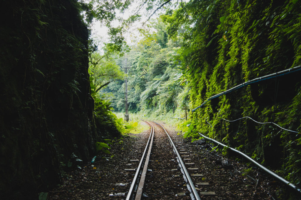
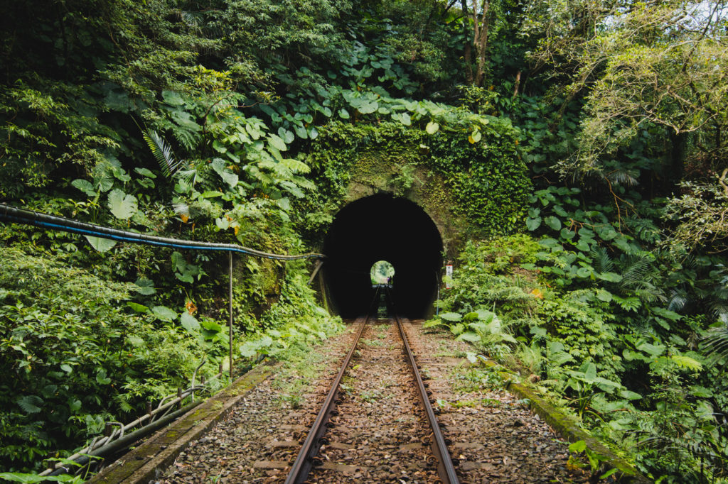
Behind the waterfall there are train tracks and that’s where the hike to other waterfalls begins. It’s illegal to walk on them and there is a fence with a sign to make sure it’s clear… But well, that’s the only way. The route along the trails is just about 15 minutes and most of the time there is enough space to step aside in case a train passes. Except for a short tunnel… Fortunately the trains are not frequent and when we were there, one just passed us before we head to the tunnel so we were pretty sure we would survive that part 🙂

To know where you should step down from the train tracks on a path you can download our map.

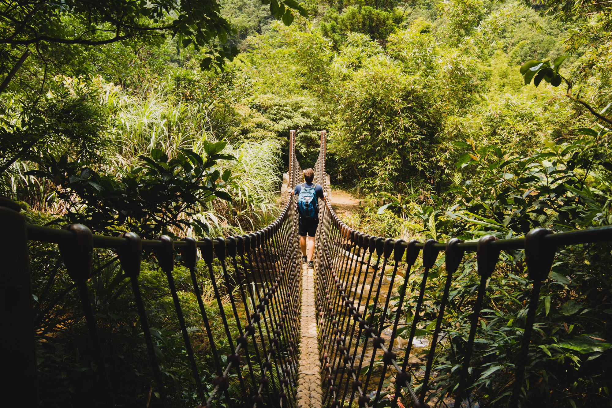
From there it’s pretty straight forward and super slippery. The rock stairs are covered in leaves and it’s wet all the time. Here there are no ropes to hold on to so it can be pretty dangerous. On the bright side it’s a really picturesque route in the forest.

Once we put that difficult 30 minutes behind us we were relieved to realize that was the most challenging part of the path. The rest was pretty much walking on well maintained trails or even paved roads.

Pipadong Waterfall

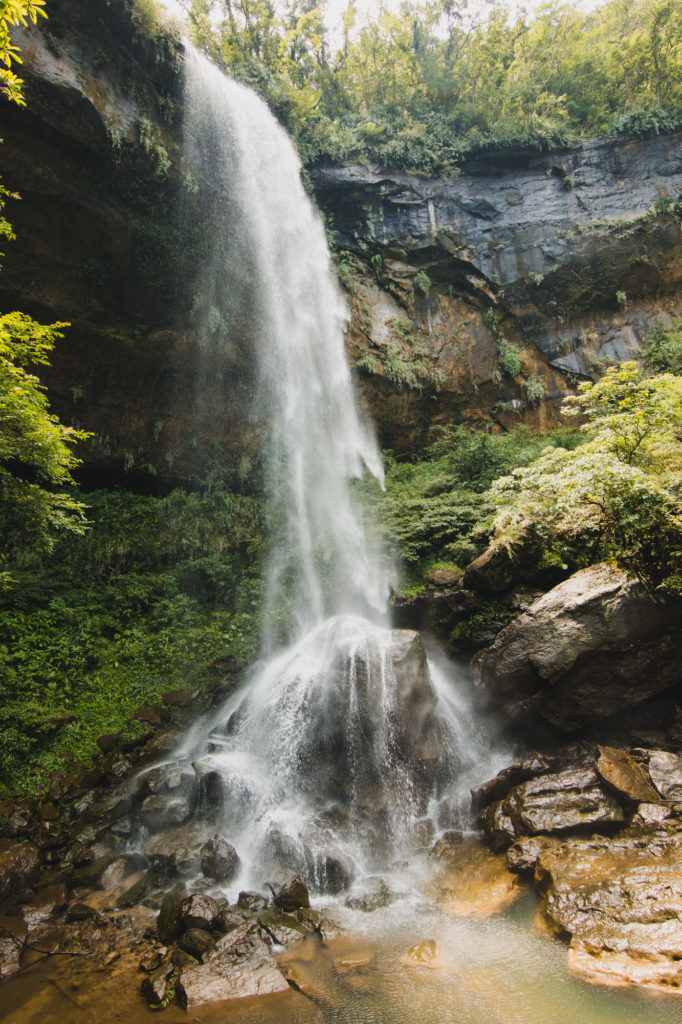
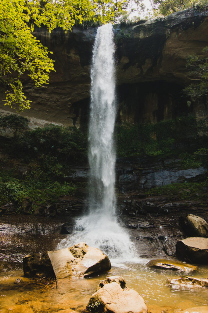
Walking from Shifen meant that we first saw the waterfall from up close and up high. Going down we could already hear that at the bottom of the stream was where all the fun was going on. There was a natural swimming pool with plenty of flat rocks for everyone to sit and relax between the swims in the chilled water. True mercy in such a hot, sunny country and an epic way to rest after the hike.

No wonder that it’s a pretty crowded spot, especially since the hike from Sandiaoling Waterfall has been adapted to be more family friendly.

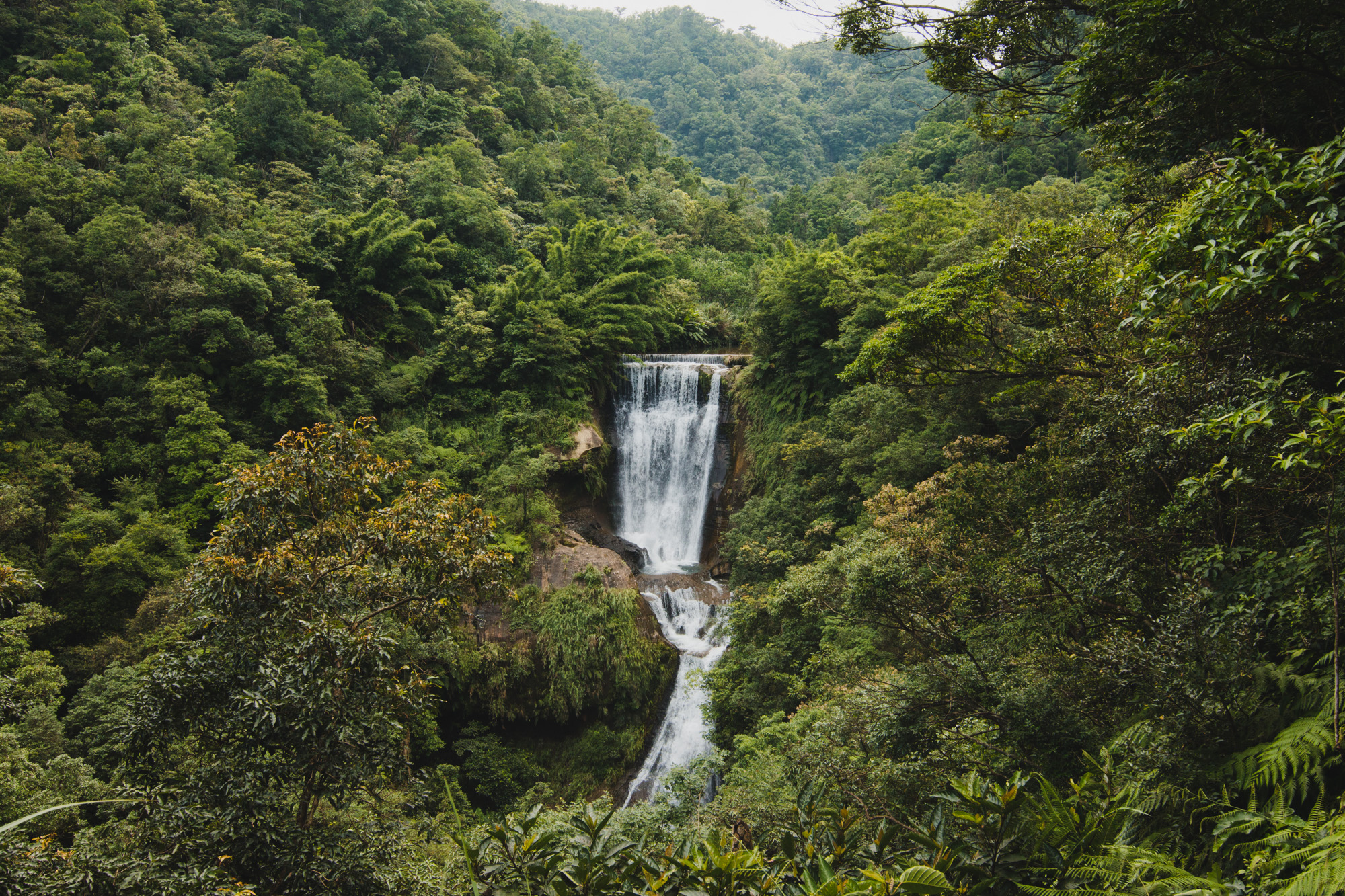
After some down time, we started walking towards the Sandiaoling Waterfall with our two new friends. One of them literally walked in sandals… which I wouldn’t recommend to anyone. But it does say a lot about the difficulty of the path from here on. On our way to civilization we passed Motian Waterfall that was as beautiful as the Pipadong one, although it missed the pool option. Busy talking we almost missed the Hegu Waterfall that turned out to be rather inaccessible and only visible from a platform from quite a distance.

From there it was just a short walk to the train that took us back to our cozy apartment in Taipei.

Our Favourite Hikes in Tatra’s Chochołowska Valley

Tatra Mountains around Zakopane are definitely not off the beaten track in Poland but they are still quite extraordinary and a must see. Especially being so close to the most popular city in Poland- Kraków. Tatra Mountains are perfect to visit all year long. During the winter you can enjoy skiing, hot wine and looking at the snow peaks. On the other hand in the autumn you will see incredible colors of red, green and yellow spread all over the slopes. Some say that the best period to go to Chochołowska Valley is spring as it’s covered with purple crocuses. The worst season to go would probably be summer as it gets really crowded (july-september).

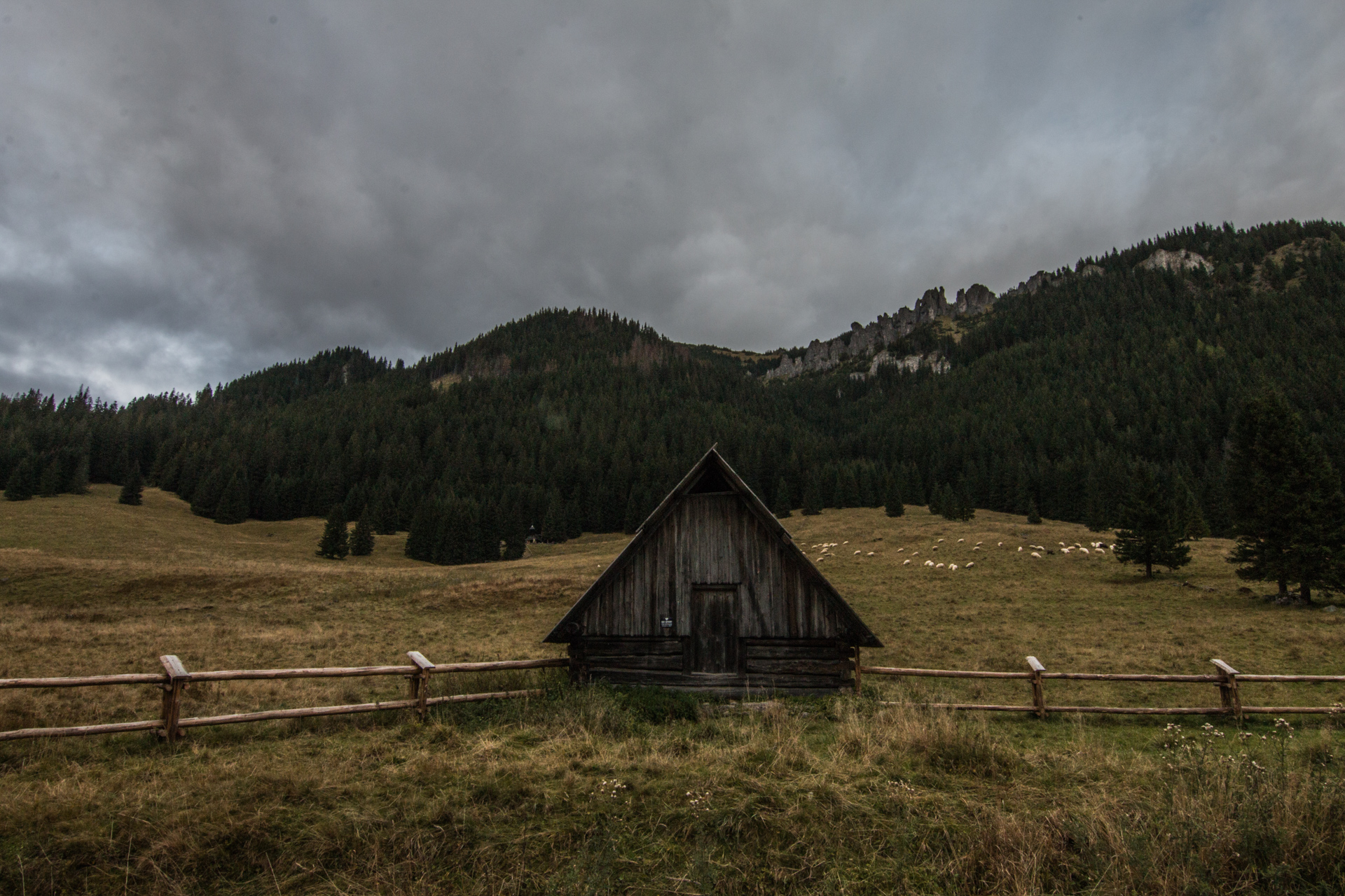
Although you can see the Chochołowska Valley in one day going from Zakopane, it’s preferable to stay there. There is a certain charm in staying in an old mountain shelter and waking up surrounded by the sheep.

The hikes 🙂

Chochołowska Valley is a great base for some incredible hikes. They are all quite easy meaning no chains or difficulties 🙂 Here are the ones we have done

  1. Trzydniowiański Wierch easy half day walk 🙂 perfect for the first day, 8 km

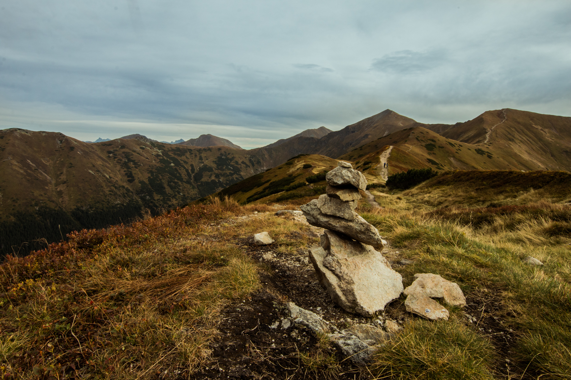
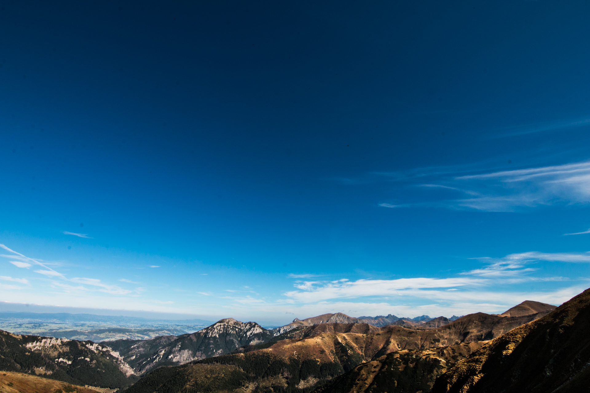
First we took the yellow path through a nice forest then it turned into the red path and that’s when the going-up-part started. It wasn’t steep or difficult, just a nice walk up through a forest with a sneak peek on the mountains every now and then. At some point we left the forest behind and we started walking up the mountain itself. And that’s when it got pretty spectacular. The colors were just unbelievable, the slopes were red and with patches of yellowing pine bushes and purple flowers that looked a bit like lavender. I guess a perfect hike for the autumn time. And it’s not too high, it’s only 1765 m at the top.

To go down we took the red path to the other side and then the green to get back to the Valley and the shelter. I would say it’s better to go down the same way, it’s way prettier as on the other side we didn’t see much except for bushes that surrounded us and toilet paper.

  1. Ornak Shelter and Smerczyński Lake- easy although you go up and down twice, 15.5km

With this one it’s all about the destination and not about the way. We started by going back with the green path and then turning on the yellow path that leads to the cutting tree area where people from local villages work. The sight of fallen trees and the sound of the chainsaw didn’t really make it the best mountain hike ever. At least not until in the middle of the path when we reached the Iwaniacka Pass (1459 m above sea level) after which we went down through a forest straight to the shelter.

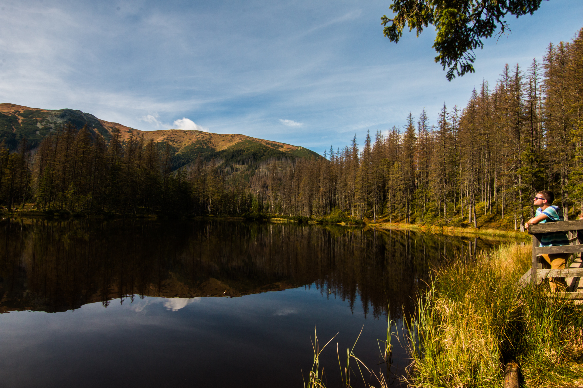
Ornak shelter is a pretty small one but it’s charming and beautifully situated in a small valley. It serves meals, beer and other drinks so you can chill out here or go straight to the Smerczyński Lake. It’s around 20 min walk on the black path, a bit up but not too much and the lake is just breathtaking. It’s small but the reflection, the peace and the fact that there is a terrace build right onto it where you can chill out… Amazing! A must see.

  1. Grześ mountain and then Rakoń and Wałowiec- definetely the most demanding of the three although still not difficult, 10km

First you take the yellow path to get to the top of Grześ. We decided to take a shortcut and go on the blue path which was much shorter indeed… but just in meters. It was very steep so it probably took us the same amount of time or even more. It was pretty fun though to walk on the steep rocks through the forest. Once we got on the top and passed some bushes we got some amazing views on all of the mountains. Later it was very clear that we had to continue on the blue path to reach Rakoń and then Wołowiec. Afterwards we had to go back a bit and go on the green path to get back to the shelter.
The shelter… how much and how to get there?

The cheapest option is sleeping in a 14 bed-dorm, it’s 25 zl. You need to pay additionally 5zl for sheets or bring your own sleeping bag. The prices for a private vary depending if it’s low or high season. The whole list of prices http://chocholowska.com/project/pokoje/ (and it’s in English).

You need to book the shelter in advanced either by just calling them or sending them an email. They will ask you to pay some money in advance to secure your booking.

The shelter has a restaurant. It’s not super expensive but it’s not cheap either. You can buy your dinner for around 25 zl but it’s not a big portion so it might not be enough. They serve breakfast as well but starting from 8 am so if you want to leave early to the mountains it’s better to have your own food. They do have boiling water for freeJ it calls for noodles 🙂

To get to Chochołowska Valley you need to take a bus from Zakopane to Siwa Polana (6zl). Once there you can walk (2h, pretty flat) or take a kind of train to Huciska Glade (30min) and then walk or take a bike (wouldn’t dare on the stones but whatever floats your boat) or lazy people can take a horse carriage that will bring you straight to the shelter 🙂

ps. To enter the valley from Siwa Polana you have to pay an entry fee of 5 zl.

Life saving app 🙂

During our hikes we used “Szlaki turystyczne Małopolski” app (Android, IOS, Windows Phone) which is just great. Ok, it’s in polish but it shows you all the paths, tracks where you are, shows you elevation, nearby attractions or shelters.

Enjoy the mountains 🙂

And remember you can download the hikes for Maps.ME: Chochołowska Shelter Hike, Grześ Mountain Rakoń and Wałowiec Hike, Ornak Shelter and Smerczyński lake, Trzydniowiański Wierch Hike.